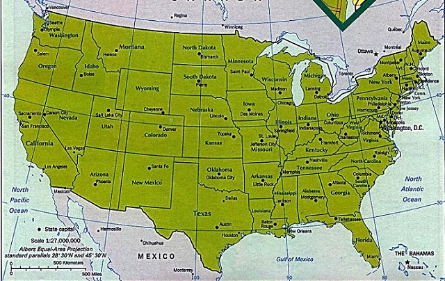
The US Geological Survey is a branch of the US government that prints very accurate maps of the USA. In an effort to maintain accuracy, the USGS adheres to the US National Accuracy Standards. US maps can be downloaded and purchased from the USGS website.
The US Library of Congress Geography and Map Division has an extensive collection of over 4 million items. Many of these have been digitized and are available online at the Map Collections website, including historic USA maps that may not be found anywhere else.

